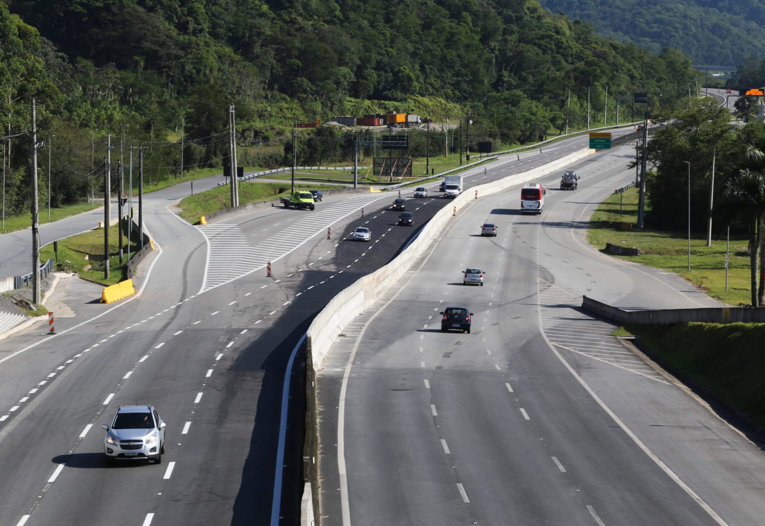
The Government of São Paulo is consolidating a new logistics macro-ring focused on mobility and regional development through a set of key infrastructure projects in the southern coastal region. With an investment of R$ 4.3 billion, the highway concession includes the duplication and modernization of the Padre Manoel da Nóbrega Highway (SP-055), the Professor Alfredo Rolim de Moura Highway (SP-088), and the Dom Paulo Rolim Loureiro Highway (SP-098), as well as integration with the Dom Pedro I Highway (SP-065) and the future duplication of the Bertioga–Santos stretch. Together, these interventions create alternative routes to the Anchieta–Imigrantes system, improve access to the Port of Santos, and contribute to forming a large logistics ring around the São Paulo Metropolitan Region, expanding cargo flow capacity, improving traffic flow, and ensuring safe and efficient infrastructure for residents, tourists, and the productive sector.
“The Litoral Paulista concession, along with the Rota Sorocabana concession, enables the formation of a logistics macro-ring in the state of São Paulo. The duplication between Miracatu and Peruíbe, the construction of frontage roads from Peruíbe to Praia Grande, and the connection with highways such as SP-065 (Dom Pedro I) and the Bertioga–Santos duplication will provide a new access route to the Port of Santos and help ease traffic on the Anchieta–Imigrantes system. This improves logistics statewide,” said Rafael Benini, Secretary of Partnerships and Investments for the State of São Paulo.
Ongoing improvements
Key project deliveries include the full duplication of the Padre Manoel da Nóbrega Highway, from Bertioga to Santos and from Peruíbe to Miracatu, and the construction of 108 kilometers of frontage roads with lighting and sidewalks. Also planned are 27 overpasses, 22 kilometers of shoulders, bike lanes, and new pedestrian walkways. Improvements are already underway: construction teams are active across several highway segments, performing paving, repair services, and installing user service bases. So far, seven work fronts and eight operational bases have been mobilized, with improvements initiated on over 134,000 square meters of roadways.
Toll collection will follow the Siga Fácil electronic gantry model and will begin gradually starting in November 2025, exclusively in stretches where priority works have been completed. The toll will be proportional to the distance traveled, and drivers making short, local trips within municipalities will be able to use the free frontage roads. Automatic discounts of 5% to 20% will be offered to users who choose automatic payment methods. Motorcyclists will be exempt, and frequent users will receive progressive discounts. The model ensures fair pricing: those who travel longer distances pay more; those who travel short or local distances pay nothing.
The system will include 15 gantries distributed across 12 municipalities. In 2025, gantries in Arujá, Mogi das Cruzes, Bertioga, Santos, Miracatu, and Itariri will begin operating. Gantries in cities like Peruíbe, Itanhaém, Mongaguá, and Praia Grande are expected to start operating in 2027.
The project was built on active public engagement. It underwent public hearings in 2019 and was restructured in 2023 after a new round of consultations from August to September, during which 182 suggestions were incorporated into the final plan. All involved city governments signed agreements with the state and participated in developing the model. There will be no tolls without delivery: the contract clearly states that toll collection may only begin after completion of the priority works, which will be supervised by the state regulatory agency (Artesp).
About Siga Fácil
The Government of São Paulo has launched the Siga Fácil website (sigafacil.sp.gov.br) to guide drivers through the new electronic toll gantry system, which is being gradually implemented in recent concession projects such as Novo Litoral Paulista, Nova Raposo, and Rota Sorocabana, as well as in existing contracts. This model replaces physical toll plazas on all state highways with smart gantries that automatically identify license plates or tags, eliminating queues and reducing the risk of accidents. Charges are based on the distance traveled, ensuring fairer pricing. The site includes a gantry map, payment options, and customer service channels from Artesp and the concessionaires. The transition will be continuously monitored to ensure clarity and safety for all users.